
كلية العلوم
المزيد ...حول كلية العلوم
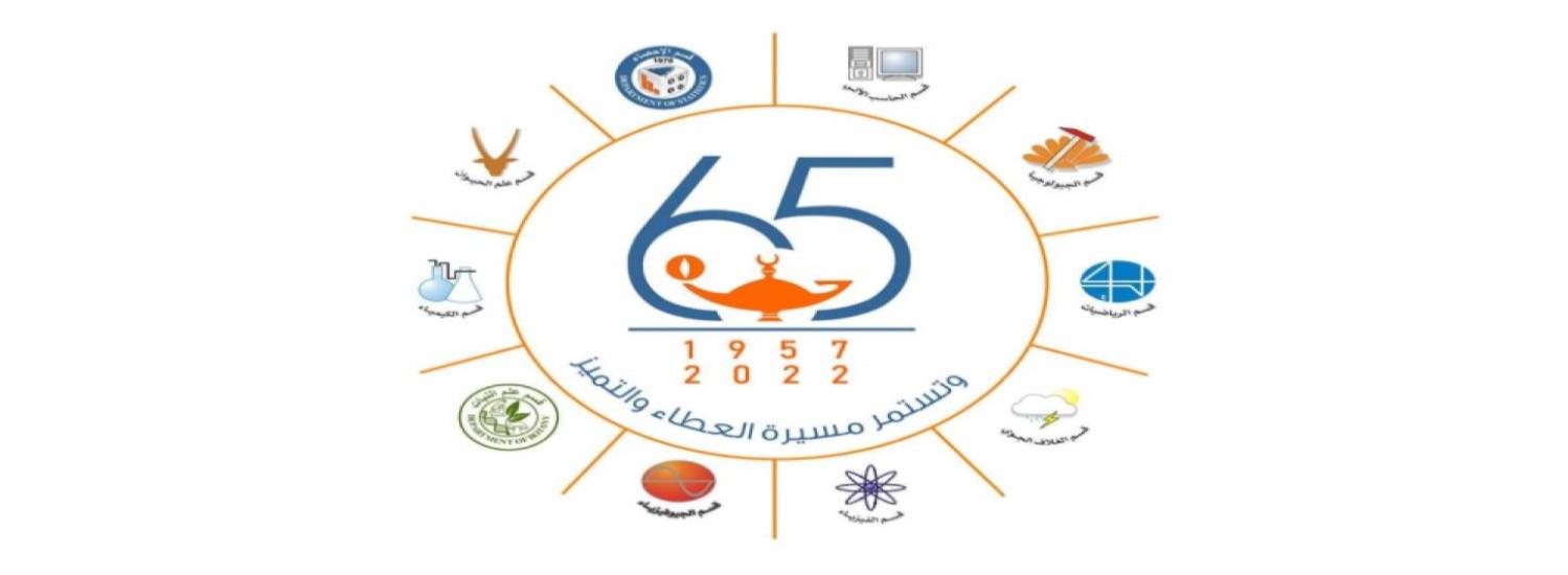
كلية العلوم- جامعة طرابلس هي نواة كليات العلوم ليس فقط في هذه الجامعة العريقة بل في الدولة الليبية . تضم في الوقت الحالي عشرة اقسام علمية ويجري العمل على استحداث قسم جديد Archaeology يختص بدراسة بالجانب العلمي البحثي للتراث التاريخي للشعب الليبي، وهذه الأقسام العلمية هي قسم علم الحيوان وعلم الرياضيات، وعلم الفيزياء، وعلم الكيمياء، وعلم النبات وعلم الجيولوجيا ، وعلم الحاسب الآلي وعلم الإحصاء ، وعلم الغلاف الجوي وعلم الجيوفيزياء. عمل خريجو هذه الكلية في مختلف القطاعات منها على سبيل المثال وليس الحصر:
- مجال النفط تنقيبا واستخراجا وتكريراً.
- مجمعات الصناعات الكيميائية في أبي كماش وراس الانوف وشركات اللدائن إنتاجاً وتصنيعاً، و في مصانع الصابون ومواد التنظيف وغيرها.
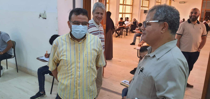
- مجال التعليم وما يتعلق به من مجالات بحثية في جميع المراحل والمستويات منها التعليم المتوسط والعالي.
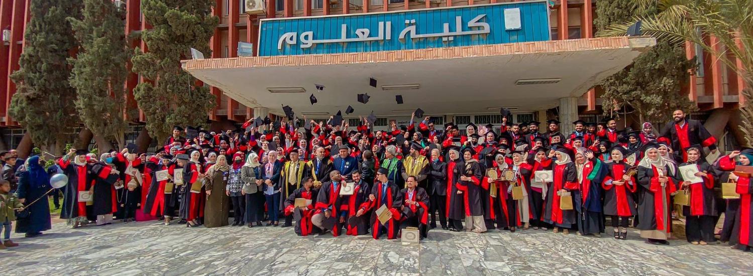
لقد قاد خريجو هذه الكلية المسيرة العلمية لسنوات طويلة ولازالوا يمثّلون اللبنة الأولى في جميع كليات العلوم، وبعض الكليات الأخرى في جميع الجامعات الليبية، التي تأسست في الخمسة عقود الماضية. شمل مجال عمل خريجوها كليات الطب (في مجال العلوم الأساسية ، والكيمياء الحيوية وعلم التشريح والأنسجة والإحياء الدقيقة) وكليات الزراعة في معظم أقسامها والهندسة في المرحلة العامة وقسمي الهندسة الكيميائية والجيولوجية تحديدا، والتقنية الطبية والصيدلة وكلية الاقتصاد والآداب، وذلك من خلال برامج الدراسة الجامعية التي عملت على توفير معيدين للجامعــــــــات الأخــــــــــرى بالدولــــــــة الليبية أو توفير أعضــاء هيئة التدريس من حملة
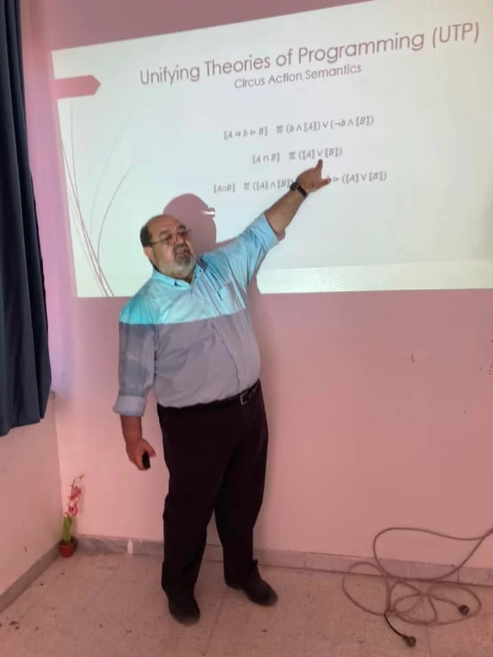
- تعتبر كلية العلوم من أوائل الكليات الجامعية التي تبنّت برامج الدراسات العليا بالداخل رغم طبيعة الدراسات العليا في العلوم الأساسية والتي تحتاج إلى إمكانيات تتعدى الأستاذ الكفؤ والذي هو متوفر والحمد لله في هذه المؤسسة، وذلك لان عدد كبير من الأساتذة تخرجوا من جامعات في الغرب والشرق (أمريكا، بريطانيا، أستراليا، معظم الدول الأوروبية) هذه الجامعات مشهود لها بالمستوى الأكاديمي الرفيع.
- عمل ويعمل خريجوها أيضا في مراكز البحوث الصناعية والنووية والنفط والأحياء البحرية والتقنيات الحيوية واللدائن وغيرها من المراكز البحثية المتخصصة، وذلك بعد حصولهم على الشهادة الجامعية الأولى أو بعد حصولهم على درجات التخصص العالية والدقيقة من الداخل و الخارج .
- إثراء الحركة العلمية البحثية في مجالات العلوم الاساسية بالدولة الليبية من خلال اصدار مجلة العلوم الاساسية المحكمة.
حقائق حول كلية العلوم
نفتخر بما نقدمه للمجتمع والعالم
المنشورات العلمية
هيئة التدريس
الطلبة
الخريجون
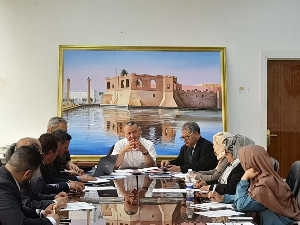
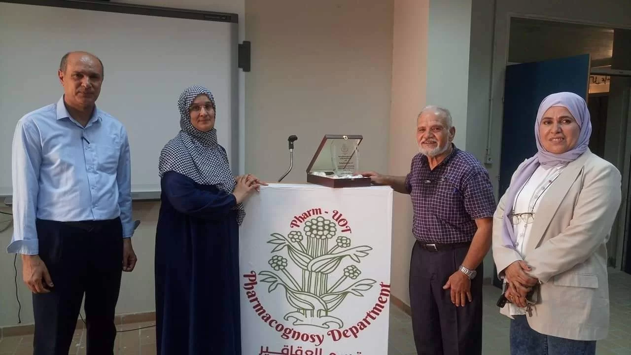
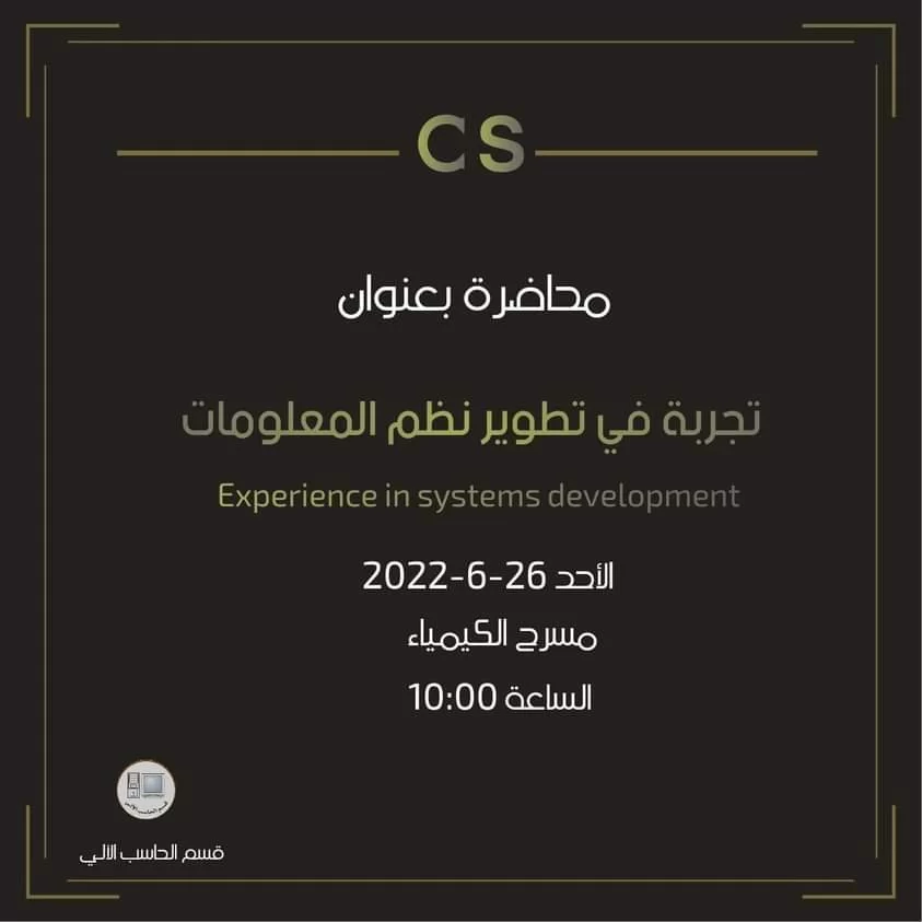
أخبار كلية العلوم

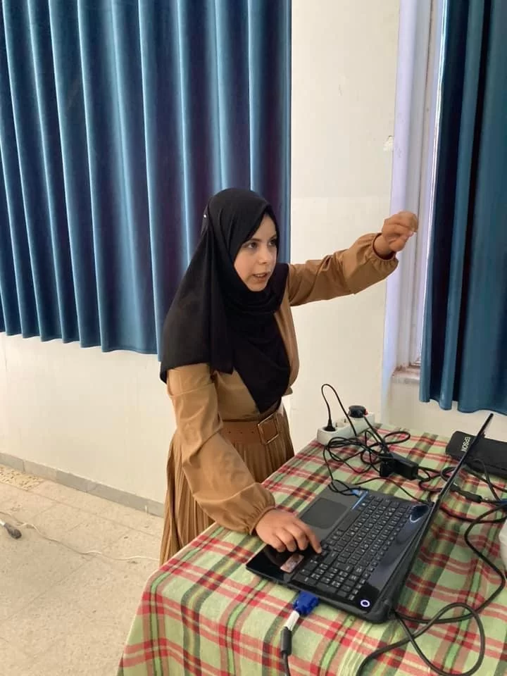
البرامج الدراسية


الإجازة التخصصية (بكالوريوس)
يقدم قسم الفيزياء برنامج دراسي للحصول على درجة الإجازة الجامعية الأولى (البكالوريوس)...
التفاصيل


